Case Study
Licking County Area Transportation Study - Rural Trip Planning Application
Licking County, Ohio
Challenge
Rural mobility is a challenge faced in Ohio as well as throughout the U.S. The Licking County Area Transportation Study (LCATS) partnered with Etch to provide mobility options for access to work, healthcare, and education.
Solution
One of the key design criteria is a decentralized and open architecture, so that the platform technologies remain viable into the future. Etch’s solution included a foundation of open, free, and proven technologies. Etch successfully completed a deployment utilizing the Etch Mobility Software Platform to provide:
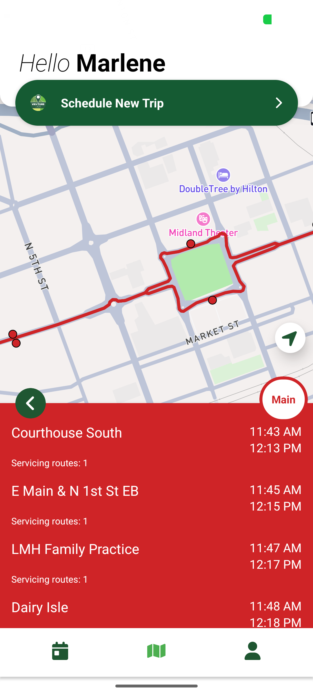
Web-Based and Device Based Applications for Trip Planning and Trip Optimization System
This deployment was more than a generic trip planner to get someone from Point A to Point B. The vision was to provide a seamless experience by connecting the passenger and the mobility provider, while also communicating the steps and resources needed to reach the destination. All these components were flexible enough to integrate with LCATS and Licking County information such as basemaps, General Transit Feed Specifications (GTFS feeds), routing services, weather, etc. Other information can also be integrated such as real time traffic data and construction locations (i.e. INRIX, OHGO, Paving-the-Way).
Provider Web Portal and Mobile Driver Application
For the seamless trip to be complete, Etch created a driver application for on-board devices that collect location data to communicate with the traveler and back office. Small local providers typically do not have the technical staff or investment capital to provide a ride hailing or booking experience that is comparable with global TNC services.
This provider portal allows operators to be on-boarded and give them a way to manage service areas, fleet information, and so forth. The driver application is the second component, which provides a connected vehicle feed, turn-by-turn directions, and dispatching system to those operators which do not currently have one.
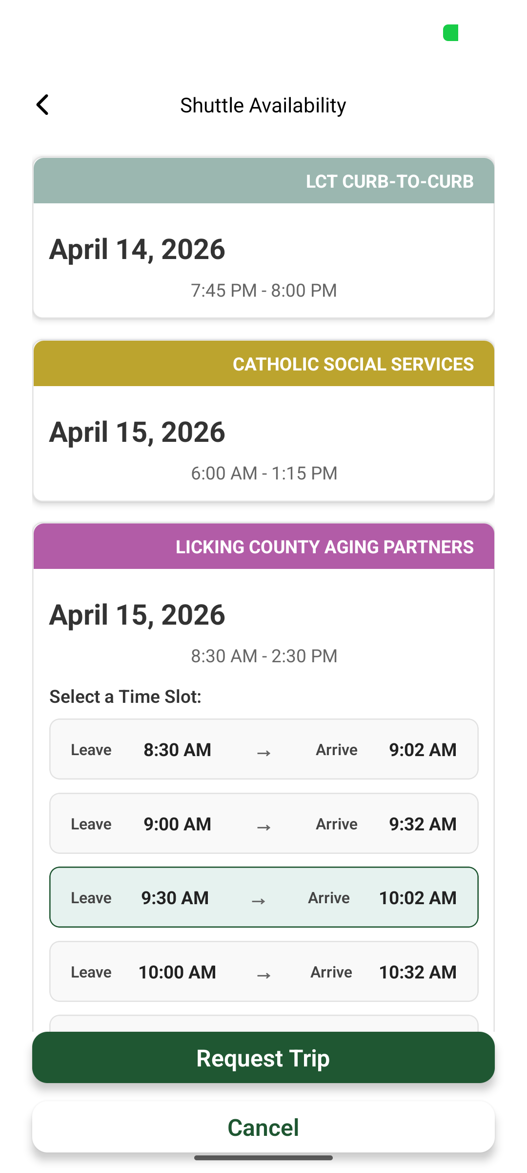
Mobile Rider Application
The mobile rider application provides the passenger multiple ways to book a trip. Various ways that a passenger can book is same day or schedule ahead based on current time, arrive by, leave by or open availability windows. Based on the passenger’s preferences and eligibility, the app provides optimized options for the passenger to select the route and provider that fits within their schedule. The aggregation and display of provider and availability in one place enables ease scheduling for the passenger when previously the passenger would have to call each agency they were eligible in to check for availability.
3rd Party Back Office Integrations with Other Providers
In addition to offering a back office in the platform, the platform is designed to integrate with other 3rd party mobility vendors to display their supported agency availability and facilitate requests and bookings to the 3rd party back office through the mobile rider application. This is done through bi-directional access through the available and supported 3rd party mobility vendor’s API. This enables agencies that have different mobility providers to participate and offer their services in a seamless user experience for the passenger.
Outcome
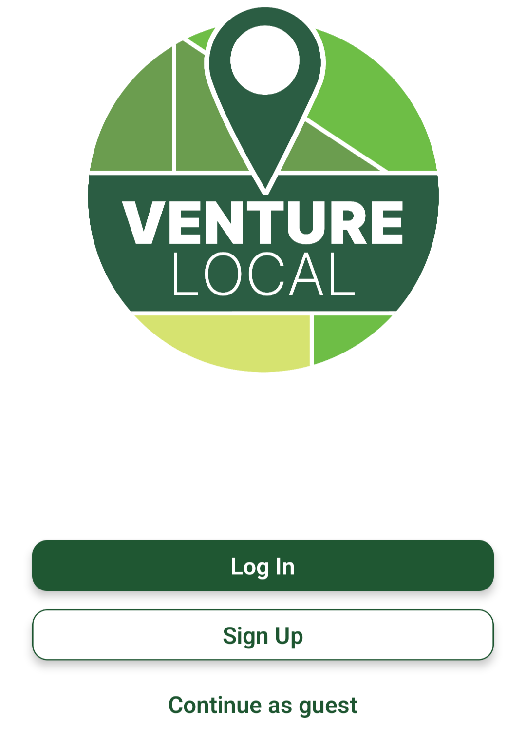
The results include a complete deployment for Catholic Social Services and Licking County Aging Partners that streamlines trip scheduling, driver management and general coordination. Etch partnered with Licking County Transit’s 3rd party mobility platform to enable access to availability and requesting of trips. Etch has also provided the mobile rider application and another instance of the Etch Mobility Software Platform to connect all agencies and coordinate trip planning throughout the region. The project team banded the application as Venture Local and is being tested for final deployment in Summer 2026.
Learn more about Etch’s GIS Planning Services

Program planning and implementation
Strategic planning for government and private sectors, including facilitation of multi-departmental entities needing to manage, update and disseminate GIS data

Custom built applications
Open source and proprietary software solutions for integration of multiple systems

Asset management
Asset management that maintains and tracks infrastructure, from data collection to integration with work order management software